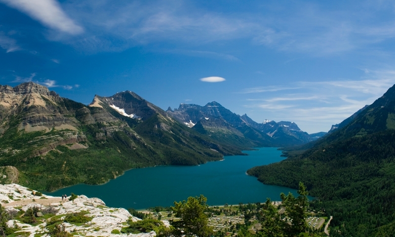
- Akamina Parkway is a beautiful 10-mile stretch of roadway running through Waterton Park.
- Located 40 miles north of St. Mary, this scenic drive thrills visitors with dramatic mountain views and tranquil valley landscapes.
- Running from Waterton Townsite to Cameron Lake, this half hour journey offers many stopping points featuring historic monuments trails.
Overview
Also known as Cameron Lake Road, Akamina Parkway is a beautiful, 10-mile stretch of mountain road beginning in Waterton Townsite and following Cameron Creek before ending at Cameron Lake. Narrow in places, Akamina Parkway passes through rugged alpine scenery before entering Cameron Valley. The parkway is open from early May through late October, with a section from Little Prairie picnic site to Cameron Lake closed during the remainder of the year. Spot wildlife such as Grizzly bears, deer, and big horn sheep in the lower glacial valley.
Driving Directions
From St. Mary, in east Glacier, travel 13 miles north on US89 before turning left onto MT-17/Chief Mountain International Highway. Travel 14 miles northwest until you reach the Canadian border where the road becomes Provincial Route 6. Travel another 15 miles on Provincial Route 6 until intersecting Highway 5 at Waterton Townsite. Akamina Parkway begins just south of the Waterton Townsite visitor center, leading west for 10 miles before ending at Cameron Lake.
Time/Distance
Akamina Parkway extends 15.2 kilometers (9.4 miles). Driving time is approximately one half hour not including photo/restrooms breaks, hiking stops, or other activities.
Highlights
- Shop or dine in Waterton Townsite before heading west on the parkway.
- Visit the Discovery Well monument at kilometer 7.7 (mile 4.8), commemorating the discovery of the first oil-producing well in Western Canada.
- Hike to Lower and Upper Rowe Lakes down the Rowe/Tamarack Trail, located at kilometer 10.2 (mile 6.3).
- Rent a non-motorized boat at Cameron Lake and enjoy the subalpine scenery as you paddle.


